Val Thorens Ski Holidays
France
Val Thorens Resort Map
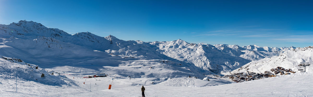
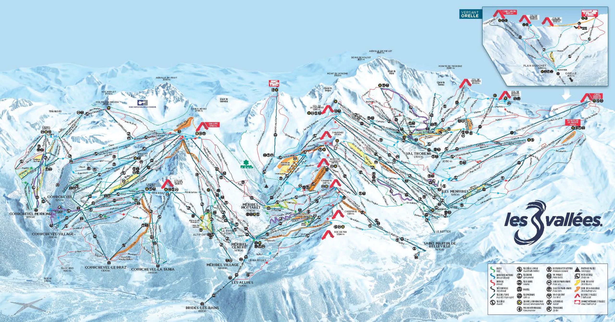
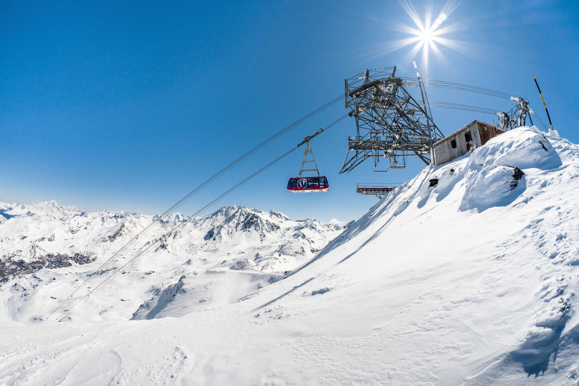
Sitting at 2,300m, Val Thorens is the highest ski resort in Europe and forms part of Les 3 Vallées, the world's largest connected ski area. The approach runs up the Belleville valley from Moûtiers (800m), passing through Saint Martin de Belleville (1,450m) and Les Menuires (1,800m) before reaching Val Thorens. Within its local sector, the resort offers 150 km of snow-sure pistes across 85 runs ranging from 1,825m to 3,230m in altitude, backed by guaranteed snow conditions from late November through early May. Use our interactive resort map above to locate accommodation options and track surrounding red lines to check direct ski slope access, keeping you close to key lift connections and village amenities. Use our interactive resort map above to locate.
Why Book With Us?
- Tailor-made experts for over 30 years
- Highly experienced team of Ski Specialists
- Every ski holiday fully financially protected


Customer Rating 5/5